GIS and Remote Sensing Solutions
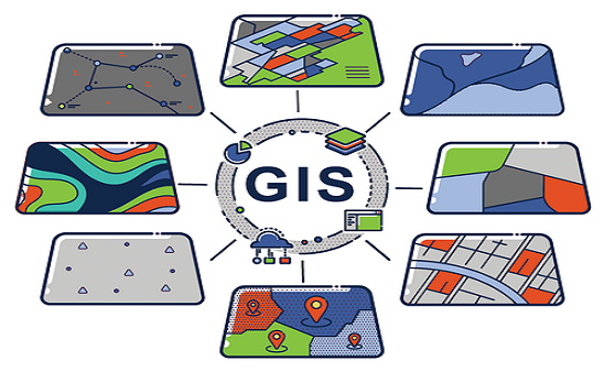
GIS and Remote Sensing Solutions GIS technology Earlier Geologists, Oceanographers, urban developers, land planners, and foresters used to work hard to gather information for their use. But after GIS mapping has entered the world of technology, these professionals work by using this spatial data as an essential component for planning any project. This database provides […]
GIS and Remote Sensing Solutions Read More »